WiLD Storm Center

WiLD Storm Center

WiLD Storm Center

TARPON SPRINGS, FLORIDA - AUGUST 30: Reporters wade through flood waters as it inundates the downtown area after Hurricane Idalia passed offshore on August 30, 2023 in Tarpon Springs, Florida. Hurricane Idalia is hitting the Big Bend area of Florida. (Photo by Joe Raedle/Getty Images)

For many in the Tampa area, this was just a wind and rain situation. For those along the coast waters are rising and causing flooding today. But for the Big Bend, Hurricane Idalia was a direct hit, reaching a Category 4 status.

Denis Phillips and our weather partners at ABC Action News called this one perfectly again in terms of the track and impact on the Tampa area. Here are their latest observations and some notes from other local weather experts about Idalia.

  • 8AM Update from the National Hurricane Center

    SUMMARY OF WATCHES AND WARNINGS IN EFFECT:

    A Storm Surge Warning is in effect for…
    * Englewood northward to Indian Pass Florida, including Tampa Bay

    A Hurricane Warning is in effect for…
    * Middle of Longboat Key northward to Indian Pass Florida, including
    Tampa Bay

    A Tropical Storm Warning is in effect for…
    * Bonita Beach northward to the Middle of Longboat Key
    * West of Indian Pass to Mexico Beach
    * Sebastian Inlet Florida to the North Carolina/Virginia border
    * Pamlico and Albemarle Sounds

    DISCUSSION AND OUTLOOK
    ———————-
    At 800 AM EDT (1200 UTC), the eye of Hurricane Idalia was located by
    Tallahassee radar near latitude 29.9 North, longitude 83.5 West.
    Idalia is moving toward the north-northeast near 18 mph (30 km/h). A
    north-northeastward motion is expected through the morning, with
    Idalia’s center forecast to move into southern Georgia later today.
    Idalia is forecast to turn toward the northeast and east-northeast,
    moving near or along the coasts of Georgia, South Carolina, and
    North Carolina late today and Thursday.

    STORM SURGE: The combination of storm surge and tide will cause
    normally dry areas near the coast to be flooded by rising waters
    moving inland from the shoreline. The water could reach the
    following heights above ground somewhere in the indicated areas if
    the peak surge occurs at the time of high tide…

    Wakulla/Jefferson County, FL to Yankeetown, FL…12-16 ft
    Ochlockonee River, FL to Wakulla/Jefferson County, FL…8-12 ft
    Yankeetown, FL to Chassahowitzka, FL…7-11 ft
    Chassahowitzka, FL to Anclote River, FL…6-9 ft
    Carrabelle, FL to Ochlockonee River, FL…5-8 ft
    Anclote River, FL to Middle of Longboat Key, FL…4-6 ft
    Tampa Bay…4-6 ft
    Indian Pass, FL to Carrabelle, FL…3-5 ft
    Middle of Longboat Key, FL to Englewood, FL…3-5 ft

    The deepest water will occur along the immediate coast near and to
    the right of the center, where the surge will be accompanied by
    large and destructive waves. Surge-related flooding depends on the
    relative timing of the surge and the tidal cycle, and can vary
    greatly over short distances. For information specific to your
    area, please see products issued by your local National Weather
    Service forecast office.

  • Closures

    Staying off the road is a good idea anyway right now… but this really paints the picture.

  • Important Reminders

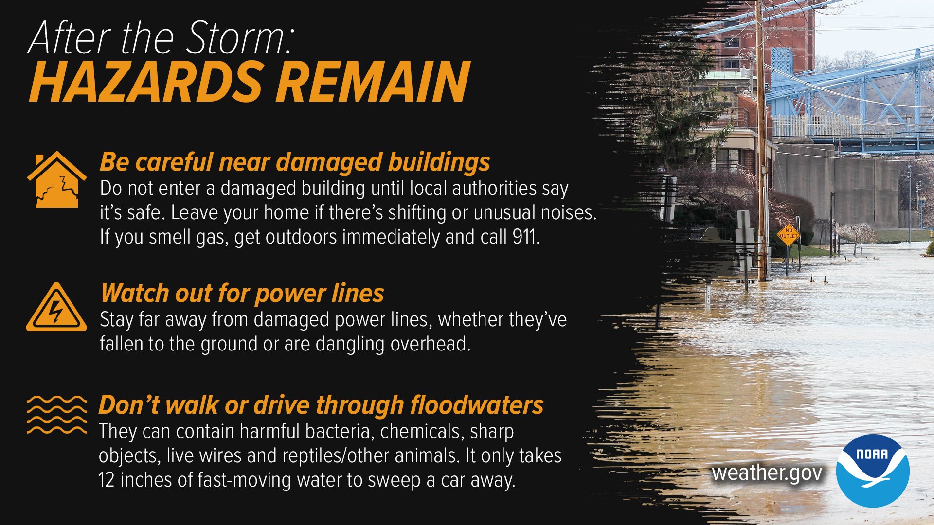
    From the National Weather Service…
    Image

  • Landfall in Florida

  • Outer Bands

    Although the center of the storm was far north of us, the outer bands are bringing heavy wind and rain this morning.

  • Clearwater Beach

    This was the scene at about 3AM this morning…

  • Sewer flooding

    A request from the City of Clearwater…

  • Flooding in Tampa

    From the City of Tampa…

  • Madeira Beach

    Daylight scene there this morning…

  • Bayshore Blvd

    It is now completely underwater this morning.  This was the scene at 3AM.

  • Pine Island

    The scene in Pasco… the sand is underwater .

  • Dunedin

  • A Close Call

Sign me up for the WiLD 94.1 email newsletter!

As a WiLD 94.1 VIP member you get access to tons of perks. Get exclusive pre-sale codes for the hottest concerts, contests, and hip-hop and local news.

*
*
By clicking "Subscribe" I agree to the website's terms of Service and Privacy Policy. I understand I can unsubscribe at any time.